Tell us what you need and we will handle the rest. From inspections and mapping to real estate media and urgent response, we deliver clear results fast across Georgia.
Mission-Focused Drone Imaging Services Across Georgia
Fast, professional drone and thermal imaging for real estate, inspections, mapping, and emergency response—powered by commercial-grade equipment and delivered with precision.
Guardian
Drone Solutions
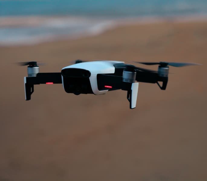
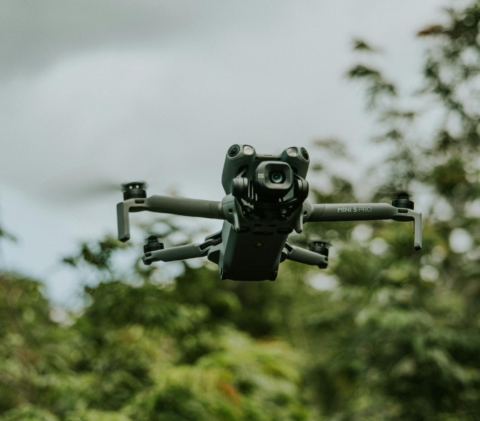
Professional Drone & Thermal Imaging Services
We deliver professional aerial, thermal, and ground imaging for clients who need accuracy they can trust. From real estate media and inspections to land mapping, insurance documentation, and emergency response, every mission runs on commercial-grade equipment and clear execution.
Reach Out!
Ready to Deploy Professional Drone Services?
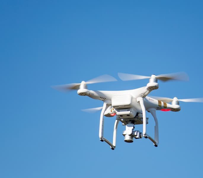
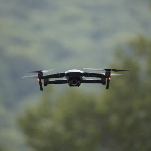
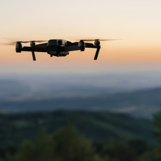
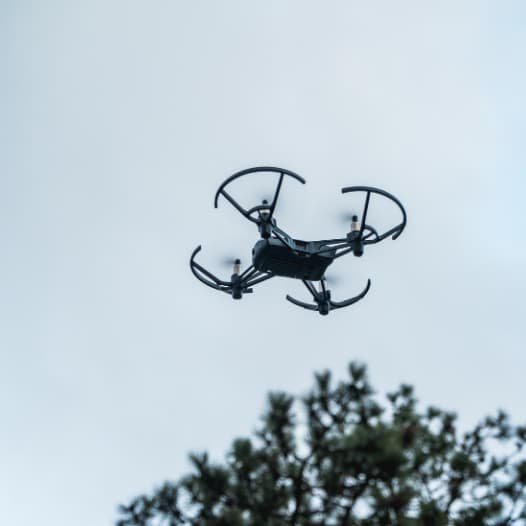
Recent Drone Projects Across Georgia
A selection of aerial, thermal, and mapping work showcasing professional drone imaging for real estate, inspections, land documentation, and commercial operations.
Why Choose Guardian Drone Solutions
Trusted drone imaging across Georgia, delivered with precision, speed, and clear communication.
Mission-Focused Precision
Every flight has a clear objective. We operate commercial-grade drones and sensors to capture sharp visuals and reliable data, delivering results you can trust without shortcuts or guesswork.
Clear, Direct Communication
You always know what we’re doing, when we’re doing it, and why it matters. We keep the process simple, explain the results clearly, and stay responsive from first contact to final delivery.
Professional, Reliable Execution
We show up prepared and operate with discipline on every mission. From residential properties to commercial sites and emergency situations, we work clean, efficiently, and with respect for your time and location.
Professional Drone and Thermal Imaging
Services in Georgia
Drone Imaging That Delivers Clear, Reliable Results
Accurate visuals and reliable data change how decisions get made. Professional drone and thermal imaging services give homeowners, businesses, landowners, and insurers a clearer view of properties, structures, and land without delays, ladders, or guesswork. Guardian Drone Solutions provides commercial-grade aerial and thermal imaging across Georgia, delivering fast, precise documentation built for real-world use.
Whether you need better marketing media, detailed inspections, or actionable data for planning and claims, drone imaging creates safer workflows, stronger evidence, and better outcomes.
Why Professional Drone Imaging Matters
Reveals issues you cannot see from the ground
High-resolution aerial cameras and thermal sensors detect roof damage, moisture intrusion, heat loss, insulation gaps, and structural concerns that traditional inspections often miss.
Improves safety and reduces risk
Drone inspections eliminate the need for ladders, lifts, and roof access, keeping people off dangerous surfaces while still capturing detailed visuals from every angle.
Delivers faster results with less disruption
Aerial and thermal scans capture large areas quickly, reducing inspection time, minimizing property disruption, and speeding up decision-making.
Provides clear documentation for insurance and claims
Professional imagery and video create strong visual evidence for roof claims, storm damage, water intrusion, and loss verification, helping support smoother insurance processes.
Enhances real estate marketing and property value
Cinematic aerial photos and video make listings stand out online, attract more attention, and give buyers a better understanding of the property and surrounding land.
Supports accurate land and property planning
Mapping, orthomosaic imagery, acreage calculations, and elevation data help landowners, developers, and property managers plan with confidence.
Enables rapid response in urgent situations
Thermal drones allow for fast deployment during animal recovery, livestock location, post-storm assessments, and emergency response when timing matters most.
Service Areas
*Not Seeing your service area? Contact us!*
Professional drone and thermal imaging is not about flashy footage. It is about clarity, accuracy, and dependable information you can act on. Guardian Drone Solutions delivers that clarity across Georgia with mission-focused execution and commercial-grade technology built for real results.
Whether you need better marketing media, detailed inspections, or actionable data for planning and claims, drone imaging creates safer workflows, stronger evidence, and better outcomes.